Loading...
ZONE EL PORTÓN
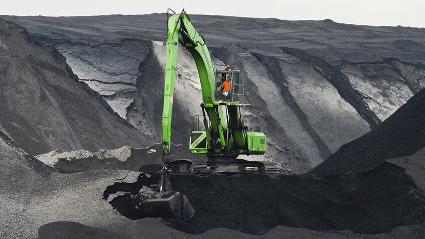
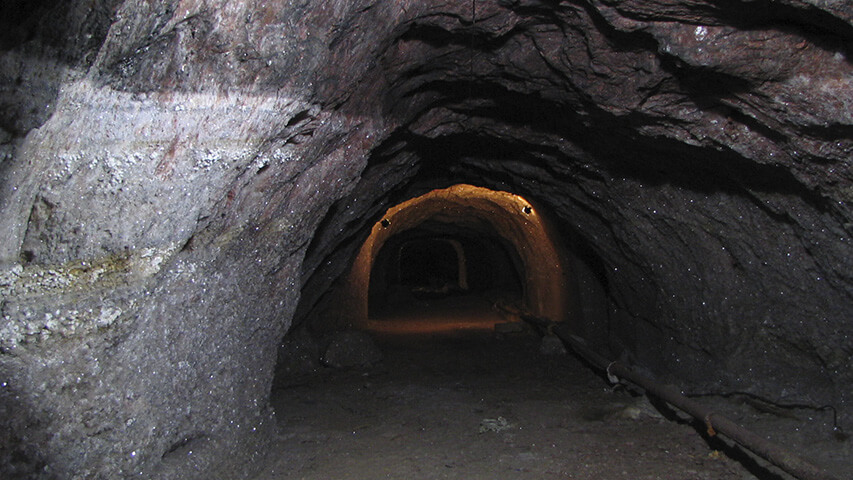
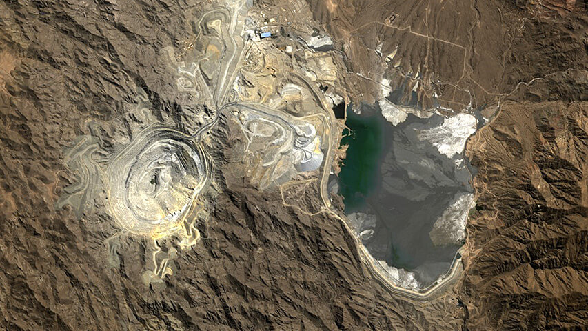
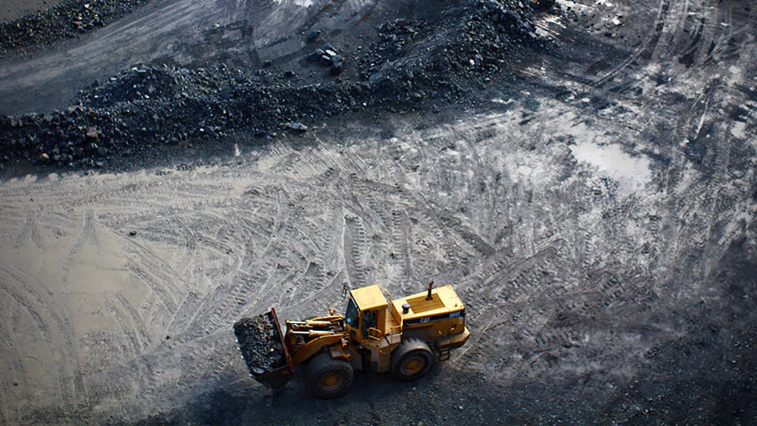
In the area of the gas deposit called “El Portón“, (60 km to the east of the city Buta Ranquil, Department of Pehuenches) and within the potassium mining properties “La Fuente I“ and “La Fuente II“ took place the initial phase of an exploration program that aimed to develop there a potassium underground mine. The properties limit to the north (37º07’ LS) with a river called Colorado and with a total of 46 mining properties that cover a surface of 4.600 hectares. Towards the south they get up to the latitude of 37º 13’ LS and the meridian 68º37’ LW sets the east limit and the 69º40’ LW determines the west border of the mining properties.
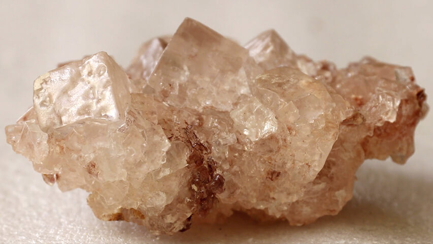
The area was researched and assessed by Danderfer (2002, 2006) who relating the surface geology and the data of gamma-ray profiles of 21 wells (exploration and/or production) of YPF-REPSOL located within the properties of Minera Cordillera del Viento, identified two mineralized complexes of sylvite. One of them at 357 mbbp while the thickest one starting at 903 mbbp, in an area of approximately 4,5 Km2, estimating a geological reservation of 100 Mt of Cl K, with probable grade of 25-30% K2O. According to the dip conditions of the mineralized horizons (22º to 23º to the E) and to its depths in the considered area, Danderfer (2006) suggested the alternative of exploring the resource at first for conventional mining and in further stages to explore towards the east the deep horizons for exploitation by dissolution, estimating that these resources could exceed about 200 meters of sylvite.
Afterwards, the Project was evaluated again by geologists of the company K+S (Germany) including inspections and visits to the area of the mines from October of 2007 to June of 2008. Together with the analysis of new wells profile and records of 2D seismic in the area of influence of the mineralized complex, the final evaluation led to the decision of beginning the exploration for conventional mining.
The exploration conducted by K+S Argentina in the area of the mines La Fuente I and La Fuente II, took place from May to July of 2010. Five drillings were planned (Fuente K1 to Fuente K5) in order to specially investigate the behavior of potassium levels detected in the evaporite sequence of the upper Troncoso member (Formation Huitrín), as well as the geological and structural characteristics of the present sedimentary column.
Fuente K1
This first column was planned in order to particularly research the geological and structural features of the entire sedimentary column in the potassium deposit. For this purpose, it was planned to recover bit of all the drilled area, specially to check the rheological behavior of the clastic and evaporite facies of the formation called Rayoso, with relation to the water contained and its real and potential capacity of conduction and draining. The location of K1 is immediately near to YPF-Repsol Epn x-2, also with the purpose of comparing chemical analysis of K in bit/crown versus percentages indicated by gamma ray.
The location of the exploratory well could coincide with the possible location of the underground access in case that the rheological conditions of the investigated column determine that from this site is possible to execute a ramp or inclined ground to reach the mineralized levels. The planned depth for the drilling was of 800 to 900 meters. Fuente K2 According to the assessment made, the structural conditions in this sector show a higher level of complexity, which is reflected in the thickness differences of the potassium horizons between the records of the explorations EPn-11, Epn-5 and Epn-x1. The objective of Fuente K2 was to provide information about the mining possibilities in the SW area of the deposit. The well was planned in order to get core samples only in the saline part of the column. Just like in the previous case, the geophysical records had to be completed in order to check them with the existing ones. The depth of the well was between 600 to 800 meters. Fuente K3 The exploration was programed in the southern sector, close to the west limit of the properties, and the goal was to assess the continuity of the reserves. The information available between Fuente K2 and Fuente K3 indicates important tectonic disturbances; it is likely that this part of the sedimentary sequence is affected by folding considering the thickness and depth differences observed in the logs of the closest wells. The results of this exploration well could provide new information about the real depth of the potassium levels in the area of higher dip and inclination of the beds, as well as about the tectonic conditions in the southern part of the area selected for mining. It was planned for this well the obtainment of core samples and geophysical profiles, just like in case of Fuente K2 with a depth of between 800 and 1000 meters. Fuente K4 This well, considered as very dangerous, aimed to investigate the continuity of the deposit in the south-west sector of the property Fuente II. The distance between this one and Fuente K2 is 1,7 km. Therefore, the main information that was expected with this exploration was to verify the extension of the potassium banks in this distal portion of the deposit. It was planned to get core samples and geophysical records just like in the previous mentioned cases, with a depth of between 800 and 1000 meters. Fuente K5 This exploration, also considered as dangerous, could condition the results of K4 and its purpose was to get additional information about the conditions of the deposit in the south-east part. The data collected about depth and tectonic condition of the potassium beds were the most interesting parameters, in an area that lacks further information for not having correlation with exploratory wells in the sector.
The location of the exploratory well could coincide with the possible location of the underground access in case that the rheological conditions of the investigated column determine that from this site is possible to execute a ramp or inclined ground to reach the mineralized levels. The planned depth for the drilling was of 800 to 900 meters. Fuente K2 According to the assessment made, the structural conditions in this sector show a higher level of complexity, which is reflected in the thickness differences of the potassium horizons between the records of the explorations EPn-11, Epn-5 and Epn-x1. The objective of Fuente K2 was to provide information about the mining possibilities in the SW area of the deposit. The well was planned in order to get core samples only in the saline part of the column. Just like in the previous case, the geophysical records had to be completed in order to check them with the existing ones. The depth of the well was between 600 to 800 meters. Fuente K3 The exploration was programed in the southern sector, close to the west limit of the properties, and the goal was to assess the continuity of the reserves. The information available between Fuente K2 and Fuente K3 indicates important tectonic disturbances; it is likely that this part of the sedimentary sequence is affected by folding considering the thickness and depth differences observed in the logs of the closest wells. The results of this exploration well could provide new information about the real depth of the potassium levels in the area of higher dip and inclination of the beds, as well as about the tectonic conditions in the southern part of the area selected for mining. It was planned for this well the obtainment of core samples and geophysical profiles, just like in case of Fuente K2 with a depth of between 800 and 1000 meters. Fuente K4 This well, considered as very dangerous, aimed to investigate the continuity of the deposit in the south-west sector of the property Fuente II. The distance between this one and Fuente K2 is 1,7 km. Therefore, the main information that was expected with this exploration was to verify the extension of the potassium banks in this distal portion of the deposit. It was planned to get core samples and geophysical records just like in the previous mentioned cases, with a depth of between 800 and 1000 meters. Fuente K5 This exploration, also considered as dangerous, could condition the results of K4 and its purpose was to get additional information about the conditions of the deposit in the south-east part. The data collected about depth and tectonic condition of the potassium beds were the most interesting parameters, in an area that lacks further information for not having correlation with exploratory wells in the sector.
After the end of the first exploratory phase, the following results are reported, according to the available information:
Fuente K1
The well was drilled from a location 300 meters to the north-east away from the planned one, apparently with the purpose of avoiding interferences with the Epn-x2, since this is a gas extraction and pumping well. According to the plan, core samples were taken from the whole drilled section.
Fuente K2
At 130 meters deep, the drilling called “pinchó” an important gas pocket, delayed the operations. The well was recovered finally reaching 522 mbbp, and obtaining core samples from the mineralized part.
Fuente K3
Within the initially assessed area with extension possibilities of the deposit towards the south, the K3 is the only one of the programmed wells that was drilled nearby the originally proposed location. It reached 501 meters, and cores samples were taken from the mineralized part of interest.
Fuente K4 y K5
Both explorations were relocated and the definitive position was set 3 and 4 kilometers to the north respectively, in relation to the original ones. Both remained within the proposed area for the mining of the deposit of potassium.
The depth of the drillings reached 610 and 860 meters with recoveries of core samples from the potassium levels.
In spite of the initial contingencies, the exploration program was successfully fulfilled and within the proposed terms, with the exception of the relocation of the wells K4 and K5, with which the intention was to research the south-west sector for possible extension of the potassium deposit. Nevertheless, the new location of both drills will add valuable information in the south-west strip of the selected area for the mining development. This information will certainly facilitate the pre-feasibility evaluation of the project.
Up to now, there are no further details available about the results of this first exploratory stage, and the definition about the continuity of the project is subject to the established terms. In case that the continuity is decided, the information about wells that is still to be analyzed and interpreted must be considered. And access to 3D seismic data that the operative base of El Portón keeps updated must be obtained.
Complementarily, it would be important to continue with the analysis of the critical variables related to the logistics of the project, such as:
Determination of the production capacity and life cycle set for the mine.
Initial content level of Cl previous to the installation of the mine.
Permitted level of CI after the installation of the mine.
Water flow conditions for the industrial process during the year.
Waste dump: height above the river Colorado level and critical distance.
Construction style of the waste dump area. Impermeability of the substrate.
Capture and use of rain water. Monitoring measures with respect to leaks and draining and liquid evacuation system.
Mechanisms of final disposal of solid waste.
Possibility to use the rail transport system that Vale Argentina is projecting to build and method to be agreed with the Province, National Transport Department and Ferrosur.
Danderfer, J.C., 2006. Prospect Potassium “El Portón“. Argentina. Minera Cordillera del Viento. S.A. Buenos Aires (unpublished).
OTHER MINING PROJECTS


Office
Talcahuano 833 - 4° A | C1013AAQ - Buenos Aires
Phones
011 4371-8717 | 011 4373-1920