Loading...
ZONE LAGUNA AUQUILCO
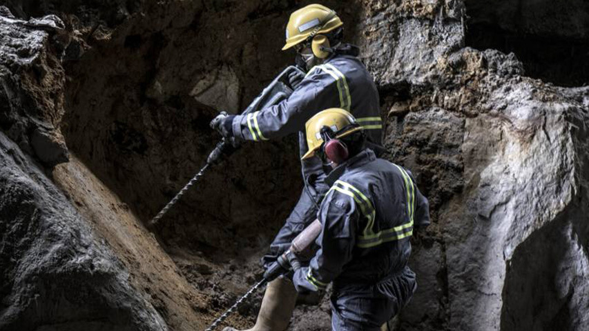
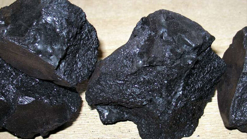
During the first half of the last century, the area concentrated an important mining activity related to the exploitation of veins of asphaltite and rafaelite. The German company TUNGAR was the one with longer permanence in the zone of the gypsum company Auquilco, installing there one of the most modern mining complexes of the time. With the best technological resources used then in the coal mining of Central Europe, the firm was able to keep the exploitations running for more than two decades without interruptions. From 1950 and until the end of the decade 1970, the exploration of these substances in the province of Neuquén was in charge of Yacimientos Carboníferos Fiscales. During this period, new occurrences and manifestations were made evident, although the liquid petroleum had conquered from long ago the energetic demand in the world. Even so, some deposits sporadically continue with their exploitations, in this district and in others located in the region Rincón de los Sauces-Auca Mahuida. The few active mines currently extracting asphaltite commercialize these substances mainly in the varnish and paint industry and in asphaltic coating or as light additives in injection muds of the petroleum exploration. It is important to take into account that after every energetic crisis of the last century and the current century, even if it is an oil or nuclear crisis, the asphaltites go back to the center of attention because as a product of their distillation it is possible to obtain kerogen (intermediate hydrocarbon between gasoline and gasoil), which is consumed in large quantities as carbo reactor, apart from the obtainment of other derivatives with economic value.
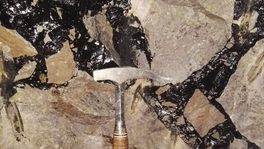
Therefore, the recurrent interest risen by asphaltites in Neuquén, particularly those in the area of Auquilco, because one of their features is to have high content of fixed and volatile carbon and low proportion of sulfur, and can be generally found in quite important vertical veins.
Apart from asphaltites, the zone also presents the largest gypsum outcrops in the Neuquén basin, in which some time ago was detected a group of geological evidences that could indicate the possible formation of biogenetic sulfur. This fact rises up the mining potential of the zone. Even when no deposits of economic interest were found up to now, the sulfur manifestations and occurrences and the geological features of the environment in each of them keeps the prospective interest present. The project Los Petisos is worth mentioning, 90 km to the SSE of Malargüe, (province of Mendoza), where the exploratory development allowed the discovery of the first biogenetic sulfur deposit in South America, with a measured quantity up to now of 3.753.000 tons of recovery sulfur. (Carotti,1999- en Danieli et al 2011)
Apart from asphaltites, the zone also presents the largest gypsum outcrops in the Neuquén basin, in which some time ago was detected a group of geological evidences that could indicate the possible formation of biogenetic sulfur. This fact rises up the mining potential of the zone. Even when no deposits of economic interest were found up to now, the sulfur manifestations and occurrences and the geological features of the environment in each of them keeps the prospective interest present. The project Los Petisos is worth mentioning, 90 km to the SSE of Malargüe, (province of Mendoza), where the exploratory development allowed the discovery of the first biogenetic sulfur deposit in South America, with a measured quantity up to now of 3.753.000 tons of recovery sulfur. (Carotti,1999- en Danieli et al 2011)
Most of the asphaltite veins in this area are located around the volcano Tromen, with preferential direction NE-SW, even tough in its proximity the veins have more radial directions. (Cobbold et al, 2011). According to observations of these authors, the veins get thinner as they get away from the volcano, and in some cases they present branches. However, the maximum thicknesses (exceptionally up to 10 meters) can be found when the wall rock is very resistant to the fracture, which is the case of the formations Tordillo, Avilé or Mulichinco, or Grupo Neuquén. (Cobbold et al, 2011).
Several veins in the area Laguna Auquilco are set in sandstones of the formation Tordillo, among them La Salvada, as well as the veins of the group Curaco and La Carrascosa located a few kilometers to the east of the first one. Actually, the asphaltite vein La Salvadais exposed in the surface in pelite box of the formation called Vaca Muerta and its structure can be followed to the NW over rocks of the same unit. Reason why the schematic sections presented by Danderfer (2006) with the location of the suggested explorations wells place in all cases the formation Vaca Muerta as the outcropping entity closest to surface, which is consistent with the reality. Danderfer also made a valid observation referring to the possibility that the structure of the vein La Salvada gets thicker when going deeply trough more fragile rocks belonging to the formation Tordillo, which agrees with recent assertions made by Cobbold et al (2011). Maybe in order to complete the diagnosis of the position of the explorations, it would be good to complement the range of possibilities presented by the information of the magnetometric research done by Danderfer (2006), which included a significant amount of measuring or control points. The graphic representation of these points shows a clear alignment that suggests the continuity of the vein structure La Salvada in direction NW-SE.
Before deciding the execution of proposed explorations, the characteristics of the veins filling should be confirmed by means of geoelectric profiles, since the magnetometry gave some information about the presence of discontinuations in the subsoil (faults, fractures, lithologic contacts) but said very little in relation to their filling and thickness. The experience that took place in the south-west slope of the volcano Auca Mahuida in the area of the asphaltite veins Auca Mahuida and La Escondida should also be considered. There, the magnetometry indicated continuity relations between both veins while the geoelectric profile clearly showed the absence of filling in those fractures. (Danieli, 2009).
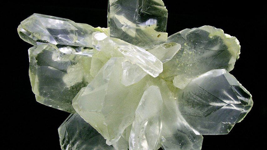
Superficial manifestations of native sulfur associated to epibiogenetics processes can be found in the evaporite sequences of the formation Huitrín (transition gypsum) and in those correspondent to the formation Auquilco (main gypsum).
Within the first mentioned geological unit, the most conspicuous manifestations are located in the area of Partido hill, approximately 35 kilometers to the NNW of the city Zapala and also in the area of Pampa Tril-Filo Morado, 40 kilometers away from the city Buta Ranquil to the SE.
Meanwhile, sulfur occurrences associated to the formation Auquilco are located in the area known as Vega dela Veranada, in the zone of Yesera del Tromen, and lake Auquilco, 30 kilometers to the south of Buta Ranquil.
In all known cases along the outcrops of this stratigraphic level, manifestations show the existence of the native sulfur formation process by biogenic conversion by anaerobic bacteria.
The origin of these occurrences of native sulfur is deduced from bacterial action in depth where the SH2 generated by gypsum reduction when reaching the surface or close to the surface and getting in touch with an aerobe environment with free oxygen or with underground oxygenated water, oxidation could occur transforming it into native sulfur.
The bacteria specialized in sulfate reduction and sulfide production are Desulfovibrio desulfuricans and Desulfotomaculum orientis and D.nigrificans. (Gabriele,1999, en Danieli et al,2011)
In both cases the mineral is presented in cryptocrystalline state with secondary gypsum, dispersed in a mix of calcium sulfate and calcareous material product of the alteration of the wall rock, which is made up of laminar anhydrite with algae limestone and intercalation of pelites. (Danieli et al,2011).
In Vega de la Veranada the Auquilco formation presents a thickness of 250 to 300 meters, being mainly made up by laminar gypsum and sacaroid, with lenticular intercalation of red claystone and occasionally grey stromatolites and skeletal limonite.
Disperse efflorescences and impregnations of sulfur in gypsum can be observed in the outcrops of the area as well as limonite impregnations and trades of hydrocarbons. These are placed preferably in sites with karst development and in stromatolitic limonite.
The karst system of the area is exposed in the surface through the formation of caverning and breccias with dissolution structures in gypsum, frequently covered by small sulfur crystals. These landforms together with the presence of sinkholes are the superficial expressions of a collapse ring-shape system of structures that could be associated to processes of dissolution or decrease in volume in the gypsum by bacteria reduction to SH2.
Taking into account the proposal of explorations included in the report made by Danderfer (2006), it would be useful to check the seismic lines running through the area before locating the final position of the drillings. As a complement, it would also be useful to gather all the antecedents of researches done in the area during the explorations done by Minera TEA or other companies. And also a gravimetric survey in the zones presenting most favorable conditions would be appropriate, in case it was not done yet.
Cobbold P.,Ruffet G.,Leith L., Loseth H., Rodrigues N., Galland O., and Leanza H., 2011. Solid fuels (Asphaltite) in report of the XVIII Argentine Geologic Congress pp.689-695, Neuquén.
Danderfer J.C., 2006. Minera Cordillera del Viento S.A. Geological summary of the mining properties studied on December 2005- May 2006.
Danieli,JC, Casé A.M, Leanza,H. and Bruna M. 2011. Minerals and industrial rocks. Geology and Natural Resources of the Province of Neuquén. Report of the XVIII Argentina Geologic Congress pp 725-744. Neuquén.
Danieli, J.C., 2009. Magnetometric survey in the area of asphaltite mines Auca Mahuida and La Escondida. Unpublished report by Provincial Mining Direction. Zapala. Neuquén.
Del Blanco M., and Barbieri M., 1999. Barite and celestine deposits related to the formations of La Manga – Auquilco, Mendoza and Neuquén. Mineral Resources of Argentina (Ed. E.O. Zappettini) Mineral Resources Institute SEGEMAR Annals 35 -1057-1069. Buenos Aires.
OTHER MINING PROJECTS


Office
Talcahuano 833 - 4° A | C1013AAQ - Buenos Aires
Phones
011 4371-8717 | 011 4373-1920